CENTERPIECE OF A MAGNIFICENT LANDSCAPE
IN SOUTHWEST NEW MEXICO
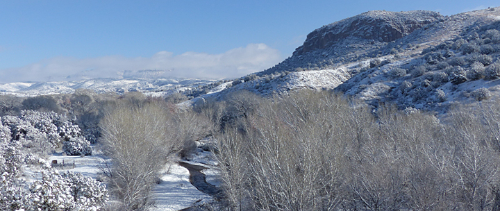
TURTLE ROCK: NATURE’S GIFT DOWN THROUGH THE AGES
We do not know what the Mogollon People called the towering mass of cliffs rising majestically from the creek across from their village. Yet, most likely, they were spiritually moved by it as they emerged from their cluster of pit-houses in the predawn hours, watching as the first rays of the Sun burst once more over its summit to start the new day, or stood waiting for the luminous orb of the full moon to slowly rise over the shadowed mass of rock to illuminate their sacred evening dance. The Apaches treasured this special place along the creek as well, both as a reliable hunting ground for game, especially the Bighorn Sheep that favored its craggy cliffs, and, because of the gently sloping flat top of the fortress-like cliffs, as a safe haven for their old, young, and infirm, as well as their appropriated horses and cattle, while the warriors were off on another of their recurring raids.
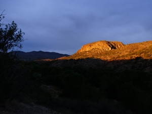
By the late 1800s, pioneer ranchers and settlers moving into the lush Gila Valley had various names for this prominent rocky landmark that was visible for miles around and which served as a guidepost for the entrance to Bear Creek, the shortest and best route of travel to the growing towns of Pinos Altos and Silver City. For some it was known as the Apache Corral; for others it was Bill Hooker’s Hill, marking the location of the headquarters for the expansive pioneer Hooker Ranch now nestled in the shadow of its cliffs. By the early 1950s, however, the lyrics of a new song inspired a more poetic name, that of Mockingbird Hill, which had become a hit tune throughout the U.S., made famous by Patti Page and several others.
Today, another name has been added to the lexicon with the imposing craggy butte now commonly referred to as Turtle Rock because of its turtleback-shaped profile.
Situated on the edge of Bear Creek and overlooking the incomparable Gila Wilderness a few miles distant to the north, Turtle Rock continues its long history of human attention as a much admired and photographed centerpiece of the marvelous landscape viewed from Casitas de Gila Guesthouses.
BORN OF FIRE, AND SHAPED BY THE AGES
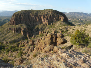
The origins of Turtle Rock can be traced back some 28 million years ago to the Oligocene Epoch (note: link is a .pdf file), when the Bursum Caldera was erupting violently some 20 miles to the northwest, in the center of what is now the Gila Wilderness. Numerous eruptions within the caldera resulted in the deposition of thick sequences of pyroclastic volcanic material over the surrounding area, ranging from fine-grained welded tuffs to coarse-grained pyroclastic breccias.
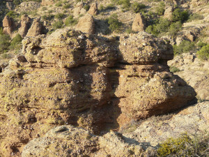
Turtle Rock consists of layers of both welded tuff and pyroclastic breccias, which are composed of angular fragments of rhyolite and andesite set in a fine-grained matrix of welded tuff. Millions of years after the deposition of these volcanic rocks, tectonic faulting and uplift took place over the area during the Miocene Epoch (note: link is a .pdf file). This tectonic uplift resulted in the formation of the Silver City Range, a 19-mile-long mountain range extending northwest from Silver City to terminate at Turtle Rock on the east side of Bear Creek. Here, vertical movement along a major north-south trending high angle normal fault during this time period resulted in the uplift of the west facing craggy cliffs of Turtle Rock and the adjacent steep slopes of North and South Peak to the south. Following the uplift of Turtle Rock and North and South Peaks, millions of years of weathering and erosion then took place, ultimately resulting in the magnificent landscape as seen today across from Casitas de Gila Guesthouses.
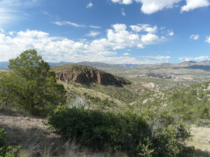
THE MANY MOODS OF TURTLE ROCK

The craggy cliffs of Turtle Rock rise up as the dominant focal point within the vast mountainous landscape bordering Bear Creek, but nowhere as much so as when viewed from the edge of Bear Creek Canyon in front of Casitas de Gila. Looking north from anywhere on Casita lands, the commanding presence of Turtle Rock sets the mood and tone of the day, regardless of the time of year or weather. Indeed, after 16 years of living here, it is a rare day that one does not spend at least a few minutes marveling at this enduring gift of Nature’s beauty, exquisitely situated against the soaring mountainous peaks of the Gila Wilderness rising up a few miles to the north in the distance. Without question Turtle Rock is a southwestern landmark that will delight any Nature lover, photographer, or artist that has the opportunity to visit.
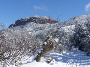
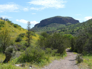
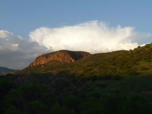
While it is very true that a picture is worth a thousand words, in the case of Turtle Rock it is also true that a photograph rarely captures that innermost deep feeling that moves one to pick up the camera in the first place. Nevertheless one keeps trying.
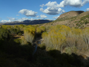
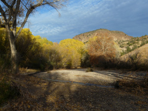
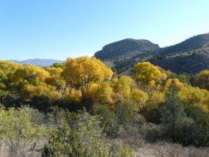
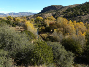
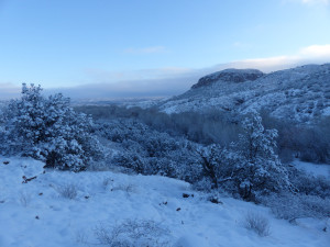
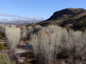
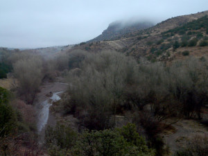
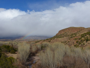
The following photos have been selected from literally several thousand taken over the past 16 years in an ongoing attempt to record the incredible beauty and changes of mood of the unique and very special landscape of Turtle Rock and its surroundings that continue to greet one’s eye and inspire one’s Spirit day after day, month after month, year after year.
TURTLE ROCK IN WINTER
TURTLE ROCK IN SPRING
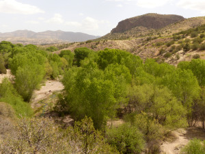
TURTLE ROCK IN SUMMER
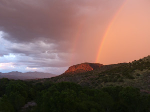
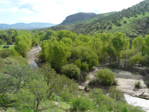
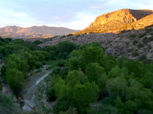
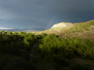
TURTLE ROCK IN FALL
