Thanks to the Discovery Channel, the National Geographic Channel, the BBC, and other mass media documentaries, most people have heard of super-volcanoes: large-scale geologic features, which when they become active, can spew 1,000 cubic kilometers (240 cubic miles) or more of ejected material in the form of lava, molten rock fragments and ash over vast areas of the surrounding countryside and into the atmosphere.
Technically referred to by volcanologists and geologists as calderas or mega-calderas, the best-known super-volcano of the United States is the Yellowstone Caldera. In recent geologic times the Yellowstone Caldera has had three super eruptions: 2.1 Ma (million years ago), 1.3 Ma, and the most recent only 640,000 years ago, when about 1000 km3 of volcanic material was blasted into the air, covering much of North America with up to 2 meters of ash and volcanic rock debris.
Calderas are so named because of the cauldron-like shape that results from the collapse of the interior land surface of the center of the volcano following the eruption and emptying of the underlying magma chamber. Super-volcanoes or mega-calderas can be huge: the Yellowstone Caldera, for example, measures 30 miles by 45 miles. Oftentimes mega-calderas will experience repeated cycles of resurgent doming of the caldera floor as more molten magma rises to the surface of the earth, followed by renewed eruptions and collapse. Super-volcanoes can wreak havoc on a monumental scale, with devastating climate and ecological affects felt on a world-wide basis, including mass extinctions of species and mini-ice ages.
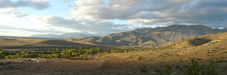
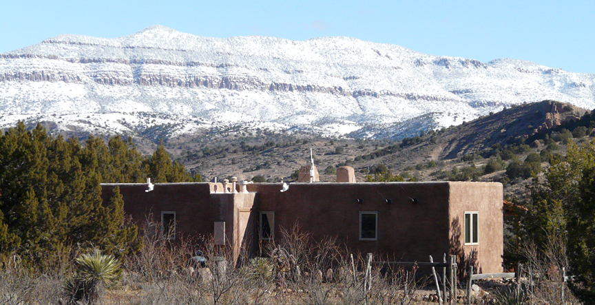
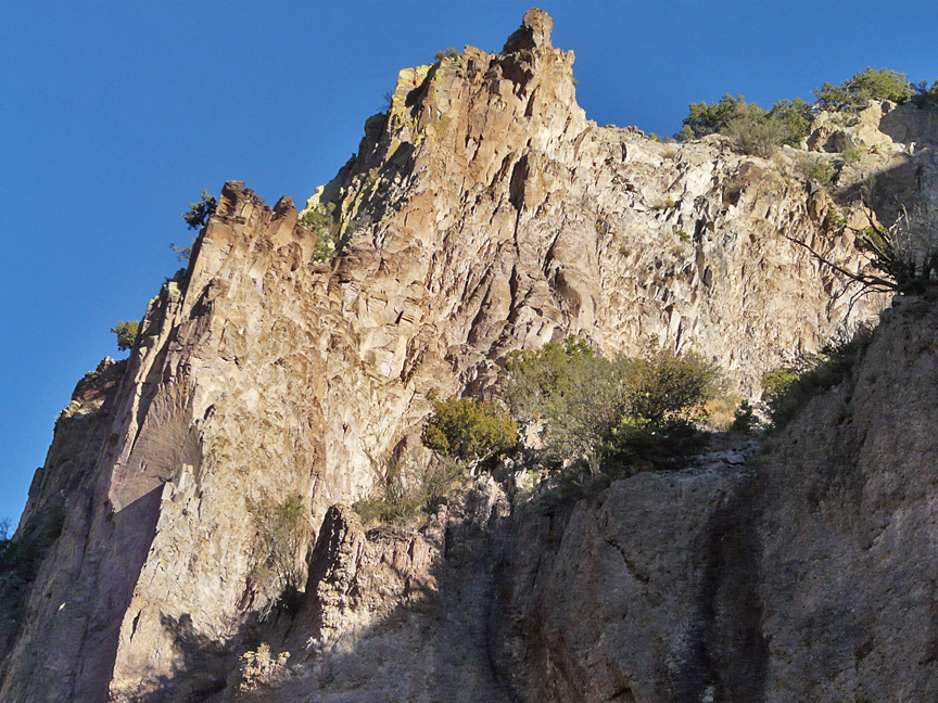
While most of today’s visitors to Yellowstone National Park are aware of the Park’s explosive past and unstable present, it is fairly safe to say that it would be the rare visitor to Southern New Mexico who would have any idea that the seemingly benign and now silent Gila Wilderness, which forms the spectacular mountainous skyline just 5 miles to the north of Casitas de Gila Guesthouses, shares a similar, albeit much older and complex, geologic history. It is here, in the Gila Wilderness, over a span of some 15 million years, that Southern New Mexico was witness to one of the most explosive and largest areas of continuous volcanic activity in the world, and one which rivaled every aspect, in terms of overall size and magnitude of ejected volcanic material, of its Yellowstone counterpart, 700 miles to the north.
Geologic research in the Gila and Aldo Leopold Wildernesses and surrounding Gila National Forest shows that this area has been the site of at least 4 major mega-calderas that were active over a span of time from 35 to 20 million years ago. From West to East these are: the Mogollon Caldera, the Bursum Caldera, the Gila Cliff Dwellings Caldera, and the Emory Caldera. These calderas formed within a vast volcanic landscape referred to as the Mogollon-Datil volcanic field, which stretches some 100 miles from Datil south to Piños Altos.
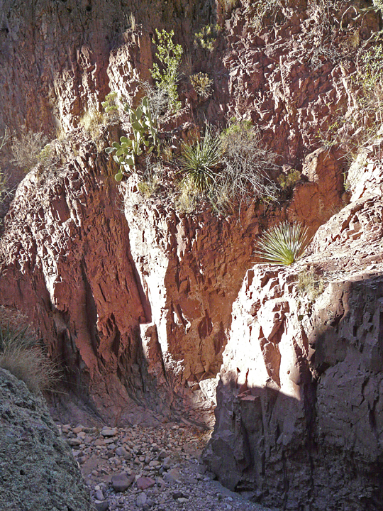
Few exposures remain of the oldest caldera, the Mogollon Caldera, dated at 34 Ma (34 million years ago), which was active during the Late Eocene and Early Oligocene epochs. This caldera was located in what is now the heart of the Mogollon Mountains, the imposing mountain range which extends northwest from the community of Gila towards Glenwood and then turns north towards Reserve. Although the Mogollon Caldera is typically covered over by younger volcanic deposits, a lot of what is known about it has been gleaned from research done along Mineral Creek near Alma and at the Catwalk Recreation Area, where exposures of a portion of the rocks which made up the wall of the collapsed caldera can be found along the east side of Whitewater Creek Canyon near the beginning of the Catwalk Trail. The size of the Mogollon Caldera is not known due to the cover of younger volcanic material; however, judging by the combined thickness of the pyroclastic rhyolitic ash fall and ash flow tuffs of the Cooney Tuff formation, which totals about 3,000 feet, it is highly probable that this caldera was immense.
A few million years later, during Early Oligocene time, approximately 29-28 Ma, renewed vulcanism once more took place within the Mogollon Mountains just east of Glenwood. This activity culminated in the formation of the huge Bursum Caldera, which measures some 18 miles by 25 miles across. Once again, massive and explosive eruptions of pyroclastic rhyolitic ash fall and ash flow deposits took place, burying most of the Mogollon Caldera deposits, with what is now known as the Bloodgood Canyon Rhyolite Tuff and the Apache Spring Tuff formations.
Contemporaneous with, and overlapping the eastern margin of the Bursum Caldera, the smaller Gila Cliff Dwellings Caldera, 28 Ma and measuring some 10 miles by 16 miles in diameter, was busily erupting, blowing out extensive deposits of rhyolitic pyroclastic ash flow and ash fall material to form what is now mapped and known as the Shelly Peak and Davis Canyon tuffs.
The Emory Caldera, 34 Ma and measuring some 15 miles by 34 miles in diameter, is the eastern-most caldera within the Gila National Forest, lying partly within the Aldo Leopold Wilderness at the southern end of the Black Range near Hillsboro and some 15 miles east of the eastern edge of the Gila Cliff Dwellings Caldera. Like the other calderas in the Gila Wilderness, the Emory Caldera ejected tremendous quantities of pyroclastic rhyolitic ash fall and ash flow deposits such as the Kneeling Nun Tuff, which is the material which makes up the unusual rock formations at City of Rocks State Park, 25 miles south of Silver City.
If the above geologic history and descriptions of rocks comprising each of the four Gila calderas sounds similar, that is because they are. The reason for this is that current geologic and geophysical data and research suggests that these four caldera, while coming from separate and shallow magma reservoirs, were being fed from a much larger, deeper and common magma chamber, which in geologic terminology would be called a batholith.
Following the eruptions and collapse of the calderas of the Gila Wilderness and surrounding area, extensive mineralization emplacement took place, including precious and base metals such as gold, silver, lead, zinc and copper, and non-metallic fluorite. This mineralization occurred within the ring faults surrounding the calderas, plus a host of other associated faults and intrusive dikes structures within and adjacent to the calderas. With the discovery of this mineralization in the mid-1800s, mining became the major driving economic force leading to the settlement and development of Grant and Catron Counties, with the establishment of several early mining districts in the area, such as the Cooney Creek-Mogollon mining district, where mineralization has been dated at 17 Ma, the Piños Altos gold mining district, and the Gila fluorspar mining district located near Gila at the mouth of the Gila River Canyon which was developed during WWII.
In addition to the emplacement of mineralization, other late-stage volcanic activity continued in association within the calderas and surrounding area with the eruption of basaltic andesite flows about 26-25 Ma and additional rhyolite and basaltic flows around 22-21 Ma. Gradually, such activity decreased as the deep magma chambers cooled, although even as late as 5.5 Ma basaltic flows still occurred from time to time in the area, as evidenced by the presence of these flows interbedded within the Gila Conglomerate adjacent to the Mogollon Mountains, such as those observed about five miles east of Casitas de Gila Guesthouses in the Bear Creek drainage.
Today, many visitors to the Gila Wilderness come to enjoy the remnant heat from these ancient fiery, super-volcano calderas in the form of the numerous hot springs that are found throughout the area. While some of the springs are well known, such as the Gila Hot Springs and Turkey Creek Hot Springs, countless others await their discovery by the intrepid hiker explorer. To be sure, while the fire down below may be out, the oven is still plenty hot!
References:
Ratte, J. R. Marvin, C. Naeser, and M. Bikerman, 1984, Calderas and Ash Flow Tuffs of the Mogollon Mountains, Southwestern New Mexico, Journal. Geophysical Research. 89(B10), 8713-8732.
Ji. C. Ratte, S. Lynch, and W. C. McIntosh, 2006, Preliminary Geologic Map of the Holt Mountain Quadrangle, Catron County, New Mexico, New Mexico Bureau of Geology and Mineral Resources, Open-file Digital Geologic Map of OF-GM 120.
Geology of the Gila Wilderness- Silver City Area, 2008, New Mexico Geological Society, Fifty-ninth Annual Field Conference, October 23-25, 2008, New Mexico Geological Society, Inc.
